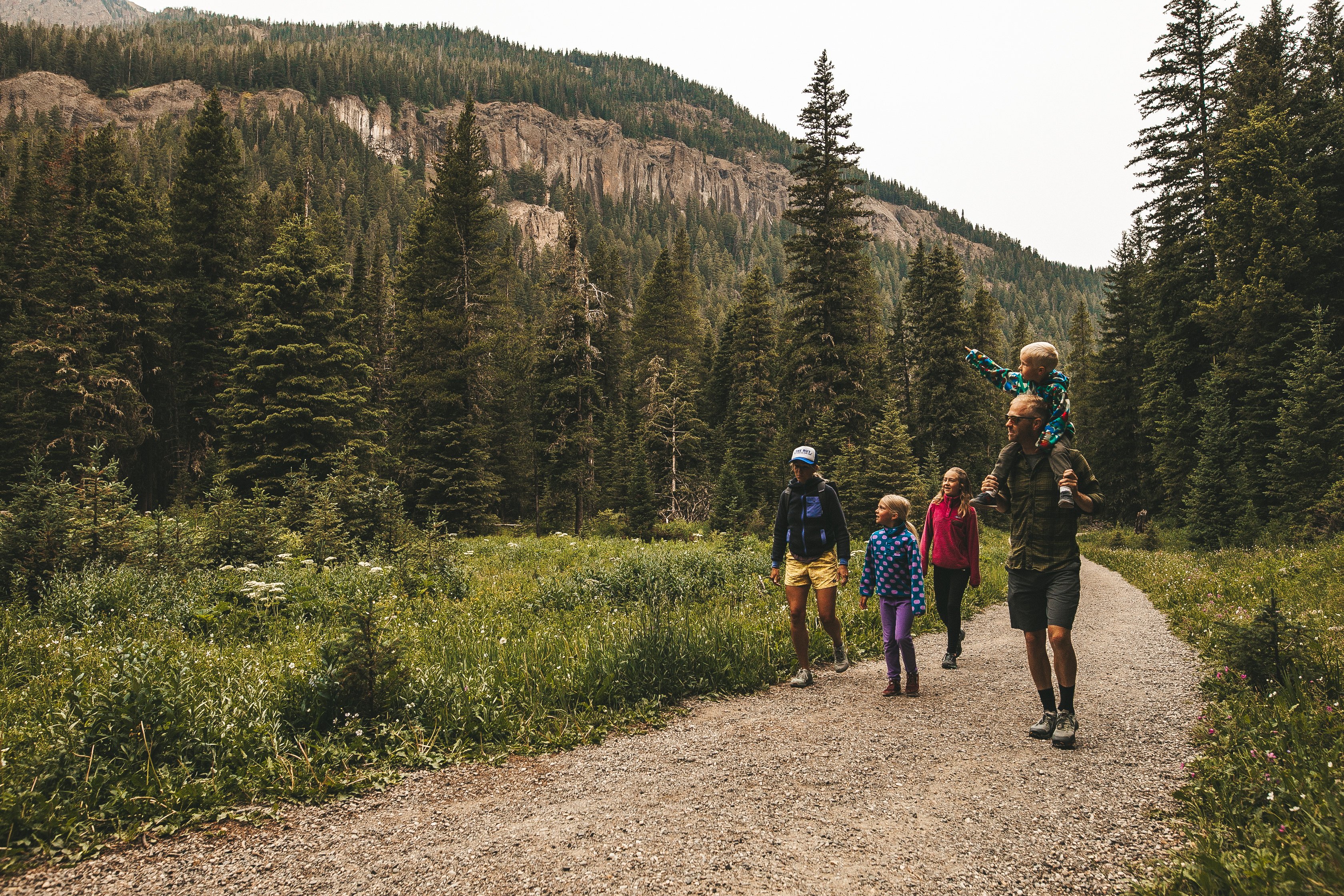
Choosing the top 10 best hikes near Bozeman is tough, but you can’t go wrong with any of the trails on this list. We've organized them from easy to difficult, and remember – you can always turn back early if your stomach starts growling or the kids need a nap.
Most of these trails are accessible year-round, but if visiting in the winter, remember to bring or purchase microspikes beforehand for extra traction. Trails can get icy in the colder months.
Always bring your bear spray no matter the season and remember to always follow the Hike Kind guidelines.
Planning a trip to Bozeman? Download our Travel Guide for tips on where to stay, how to get around, and events to attend while you’re in town!
Scenic Hikes Near Bozeman, Ranked From Easy to Difficult

1. South Cottonwood Creek Trail
Miles: 4.4
Elevation Change: 524 feet
Drive Time From Downtown: 24 Minutes
The South Cottonwood Creek Trail is a 4.4-mile, moderately trafficked out-and-back relaxing hike. Busy on the weekends, the trail accommodates dogs on leashes and is popular with families.
Hikers can enjoy several small stream crossings and a mix of terrain, including a fair amount of nearly flat terrain despite the overall 488-foot elevation gain. This is a lovely trail for hot summer evenings, as it parallels a creek and is mostly shady.

2. Drinking Horse Mountain Trail
Miles: 2.2
Elevation Change: 583 feet
Drive Time From Downtown: 10 minutes
This 2.2-mile loop trail offers stunning views of the Gallatin Valley, and is popular with local hikers and runners. It climbs a mere 583 feet and is rated as moderate, but many inexperienced hikers will find it very attainable with a relaxed pace.
Dogs can use the trail, and it's a popular choice for families with smaller children as well.

3. History Rock
Miles: 3
Elevation Change: 698 feet
Drive Time From Downtown: 30 minutes
The 3-mile hike to and from History Rock is a good option for all skill levels. Nestled just 17 miles south of Bozeman in Hyalite Canyon, History Rock is a quick out-and-back trail that gains 698 feet, making it a quick, kid-friendly hike.
For fun, you can climb up to History Rock itself, which is a large sandstone boulder covered with engravings. It's the perfect place for a quick snack before meandering back down the forested hillside.

4. M Trail
Miles: 1.7 - 2.4
Elevation Change: 800 feet
Drive Time From Downtown: 10 minutes
Perhaps the most iconic Bozeman hike, the M Trail takes you to the giant white "M" you see from town. One side of the trail is more moderate and slightly longer, while the other climbs steeply, allowing you to choose the difficulty of your hike.
No matter which option you choose, the 800 feet of elevation gain is still pretty substantial in regards to mileage – either 1.7 miles or 2.4 miles – making it a little more strenuous than the previous three hikes.
Because it's just under 5 miles from downtown, this short trail is a favorite for pre- or post-workday exercise for busy Bozeman locals and their dogs. It offers impressive views of the valley, making it an excellent place to watch the sunset!

6. Triple Tree Trail
Miles: 5.4
Elevation Change: 958 feet
Drive Time From Downtown: 12 Minutes
The Triple Tree Trail affords gorgeous views of the Gallatin Valley, and offers two mileage options: it's just 3.4 miles round trip if you park in the Triple Tree Ranch neighborhood, or 5.4 miles at the bottom lot along Sourdough Road.
In the fall, this is one of the best places in Bozeman to see fall foliage, thanks to the large number of aspens lining the trail. However, this hike truly shines in any season, which is why we think it's one of the best hikes near Bozeman. Wildflowers cover the hillside in the late spring and summer, and it's a true winter wonderland when covered in snow. Leashed dogs are welcome.

6. Sypes Canyon Trail
Miles: 6
Elevation Change: 1,620 feet
Drive Time From Downtown: 13 minutes
The Sypes Canyon Trail is a fairly quick afternoon hike if you're looking to get your heart rate up. Located on the north end of town, access to the trailhead takes you through the Springhill neighborhood to the base of the Bridger Mountains.
You gain elevation fairly quickly, hitting switchbacks that will take you to the scenic overlook at about 3 miles. If you're looking to explore further, you can continue on and hook up with a few other trails, including Truman Gulch, the College M Trail, or Middle Cottonwood.
If you're visiting in the late spring or summer, Sypes Canyon Trail is also one of the best wildflower hikes around Bozeman!
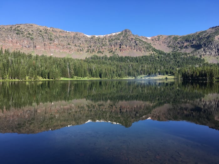
7. Emerald Lake Trail
Miles: 8.9
Elevation Change: 1,850 feet
Drive Time From Downtown: 45 minutes
The impressive, fish-filled Emerald Lake attracts its fair share of mountain bikers, hikers, wildlife watchers, and backpackers to its shores via the Emerald Lake Trail in Hyalite Canyon.
The length of Emerald Lake Trail and the greater elevation gain make it a little more difficult than the previous hikes on this list. It's popular with backpackers, who may even want to venture a little further along the trail to Heather Lake and camp there for the night.
Keep an eye out for dogs and horses — both are allowed on the trail. While you can hike this trail in the winter, it's a little more difficult as it's not very popular that time of year, and you may even need snowshoes.

8. Lower Mount Ellis Trail
Miles: 6
Elevation Change: 2,400 Feet
Drive Time From Downtown: 13 minutes
Located just southeast of Bozeman, this 6-mile out-and-back is a great option for viewing wildflowers in the late spring months and the Bridger Range any time of year.
This trail is lightly trafficked and perfect for finding some solitude. Because it climbs 2,400 feet over 6 miles, it's definitely a more difficult trail and is popular with both hikers and trail runners. Dogs are allowed but must be kept on a leash.

9. Baldy Peak Summit
Miles: 9.6
Elevation Change: 4,225 feet
Drive Time From Downtown: 10 minutes
For those seeking a challenging all-day adventure, Baldy Peak Summit is well worth the climb. The almost 10-mile out-and-back trail gains an impressive 4,225 feet as it follows the backbone of the Bridger Mountains, offering breathtaking views along the way.
Hikers who are willing to brave the steep climb to the summit are often rewarded with sightings of mountain goats and wonderful panoramic views. Dogs are allowed but must be kept on leash. Many people will still hike partway up this trail in the winter, as it begins at the M Trail, but the closer you get to the summit, the deeper the snow will be!

10. Hyalite Peak
Miles: 16
Elevation Change: 3,789 Feet
Drive Time From Downtown: 40 minutes
A trip to Hyalite Peak is one of the most iconic Bozeman experiences. A true all-day affair, this 16-mile, out-and-back climbs 3,789 feet and is rated as difficult.
The adventure begins at the Hyalite Creek Trailhead and follows a meandering stream with several crossings, before entering a meadow section with an overlook to Hyalite Lake. Many people choose to stop at the lake, but you can also continue to the summit – just make sure you know you're in for an exposed, steep climb!
The Hyalite Peak Trail is popular with hikers, trail runners, backpackers, and even horseback riders. You can bring your dog with you too.
While you can hike this trail in the winter, it'll be much more difficult, and you'll definitely need snowshoes towards the end (if not earlier).
Looking for more hikes near Bozeman? Check out the rest of the Bozeman Travel Blog, or download the Bozeman Travel Guide below!

If you enjoyed this blog, take a look at some of our other related articles at Bozemancvb.com:
In our never-ending quest to keep up with all things new in Bozeman, we have been producing content for years and can't possibly update every blog when new businesses open or existing businesses close. Please reference the publish date and do your own due diligence when making plans.